Project Brief
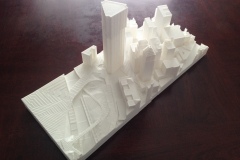
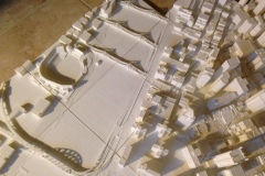
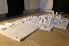
Simulation Pittsburgh is a digital representation of the city of Pittsburgh, focusing on the Golden Triangle and adjacent shores. At first conception, it was an image of the city seen through the lens of an architect. It is a value-based interpretation of the geometry of the buildings, infrastructure, and landscape of the city that transcends the current state of the downtown. Pieces of the city that have more architectural value draw more attention to detail and articulation (i.e. stadiums and churches), while most other background buildings (i.e. parking decks and warehouses) are simple yet accurate masses.
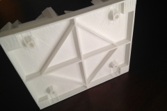
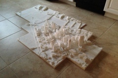
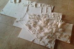
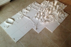
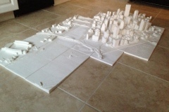
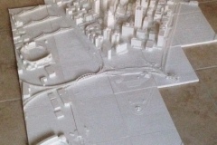
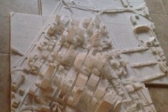
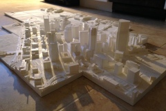
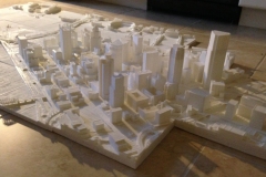
The project began in 2014 in digital 3D Modeling software, where the city was modeled building-by-building from many reference sources, including photographs, CAD, personal experience, and project research. The project then turned into a physical scale model via 3D printing. Organized in a tile format at 1:1500 (1”=125’) scale, Simulation Pittsburgh is designed to adapt to city development by replacing tiles and mounting with a peg system. With each tile measuring 9 inches wide by 7.5 inches deep, the complete 64 tile array measures 6 feet by 5 feet and the tallest structure is about 8 inches tall. The tiles are organized by an alpha-numeric grid, and labeled on the south side of each tile.
Simulation Pittsburgh is a stunning piece of art sure to be the focus of conversation for all those hailing from the ‘Burgh.
For information about how you can commission a physical 3D printed copy of the model for yourself and pricing, contact Drew at drew@hemispherearchitecture.com
Simulation Pittsburgh could have other future uses and features; including multiple-user interaction, geo-referencing, data mapping, and analysis tools.
Progress Renderings:


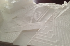
Progress 3D Prints:
Model Qualifications
While nearly everything contributes to (or forms) an architectural experience, like the light, snow, temperature, a smell, or music, the (semi)permanent physical environment dominates in hierarchy. It controls how you move through space and the world, and frames the life that it supports.
What’s In – Buildings, Topography, Terraforms, Highways, and Bridges
Also, with an understanding of city-wide project development, some projects that are under construction are displayed as completed.
What’s Out – Plants, animals, vehicles (except for the submarine at the Carnegie Science Center), weather-related elements. Sites where demolition is underway are shown as razed.
Additional Details
Shipping – The model is large, very fragile, and expensive and complicated to ship; therefore, shipping is not offered. If you have an address located within Allegheny County, PA, I will personally deliver the model. Otherwise, the delivery is pick-up only to my address in Pittsburgh, PA. If there are extraordinary requests, please email me.
Lead Time – As the digital source model itself is constantly changing, at the time of a commission, the file must be re-prepped for printing, and materials ordered. The lead time will vary based upon my current availability and workload.
Model updates– As the model develops, newer tiles may become available for updates for an additional charge.
Material – The material is white PLA plastic.
Support Frame – Although each tile is designed to fit onto a standard pegboard via dowels, a support frame is not included, but can be built for an additional charge. Installation services are not offered.
Additional terms and conditions may apply.
Note: Some images are renderings from the digital source file.

